In recent months, a number of you have been in touch to ask how South Canterbury relates to other developments around the city, and how it fits into Canterbury's longer-term plans for growth. It is an important question.
Canterbury City Council's local plan identifies several areas of land around the city for new homes. South Canterbury (shaded in grey on the map below) is one of them. It sits to the south of the city centre and has planning consent for new homes, schools, green spaces, a health centre, and much else besides.
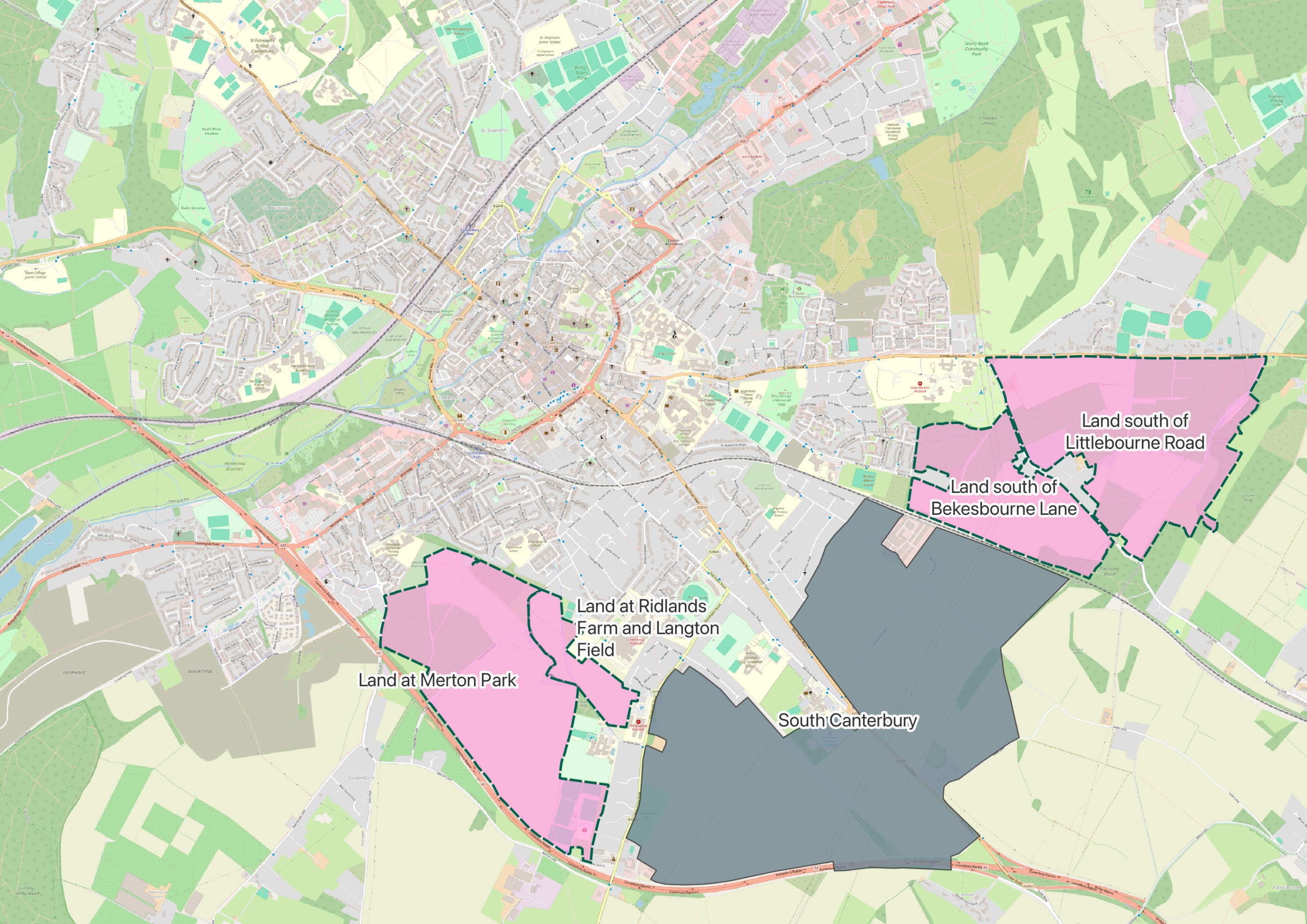
Other new places in the local plan include Merton Park, Ridlands Farm, and land south of Bekesbourne Lane and Littlebourne Road. These are all separate sites managed independently by their own landowners and developers.
If you have questions about South Canterbury, we are always happy to hear from you. You can get in touch via this website or come along to one of our community events, where the team will be happy to talk things through in person.
For questions about the other sites on the map or the local plan we suggest you contact the relevant developer or Canterbury City Council.